Downstream space data, applied to industrial and environmental questions
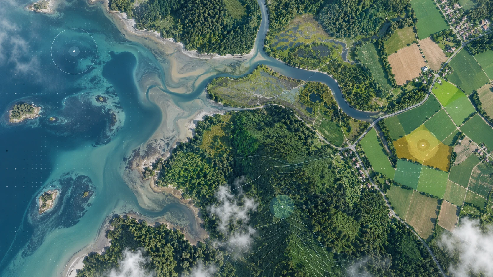
Berzen has working expertise in Earth observation data — selecting the right mission and product for a
question, processing imagery into defensible indicators, and fusing those indicators with in-situ sensor
streams so that one corroborates the other.
- Baseline and change detection — land cover, vegetation condition, surface water,
bare ground and site activity tracked consistently over years
- Environmental monitoring — thermal signatures, dust and turbidity proxies, and
catchment-scale indicators around industrial operations
- Material and resource mapping — stockpiles, tailings, quarry and residue areas
quantified across sites that are impractical to instrument individually
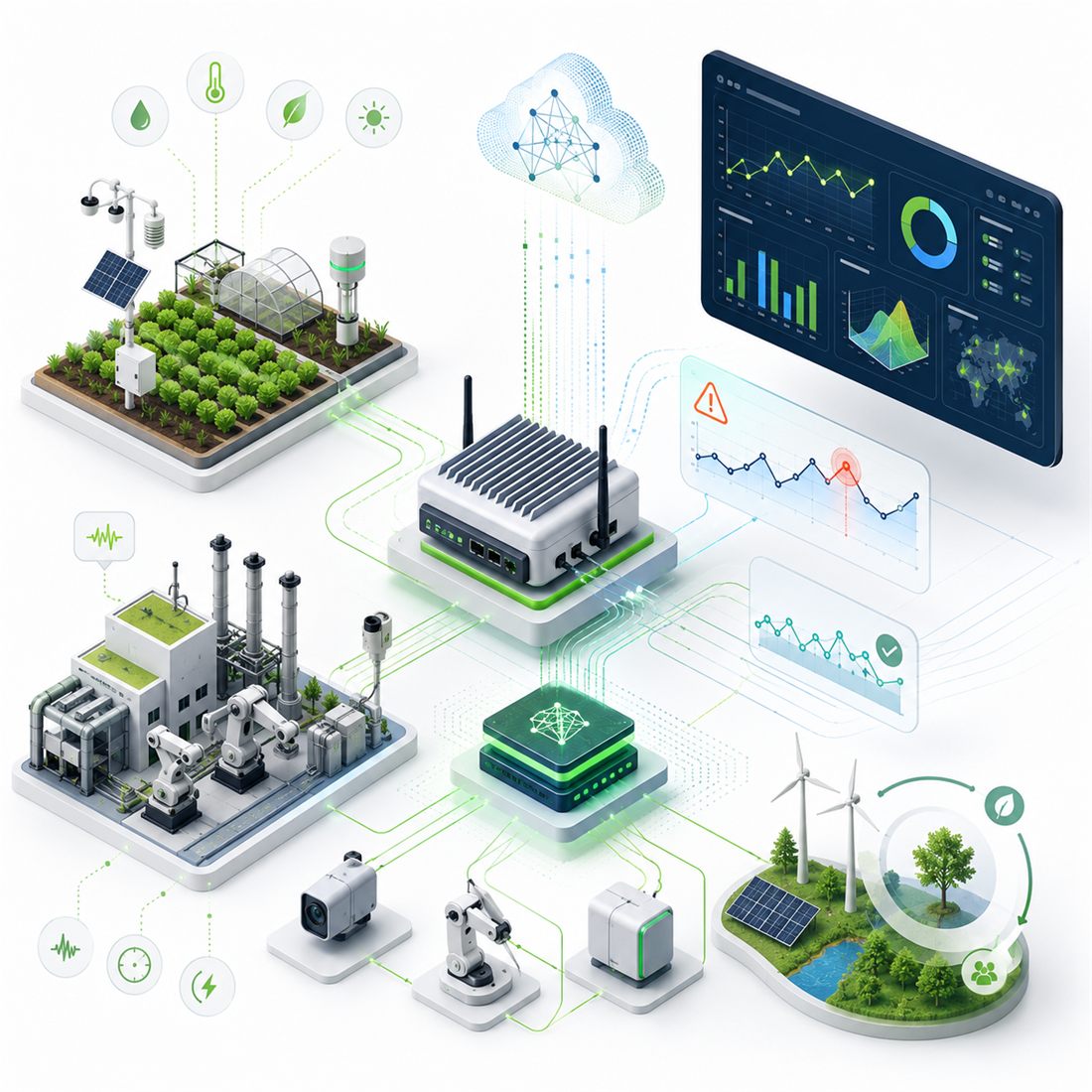
- Fusion with ground data — satellite indicators calibrated against plant
instrumentation, producing a single reconciled record
- Positioning — GNSS for asset tracking, survey control and geo-referenced inspection
- Copernicus / Sentinel-1 & 2
- Optical & SAR
- Multispectral indices
- Time-series analysis
- GIS integration
- GNSS